
Allen Neighbors: Block Source Coverage
An Allen block review begins with the parcel polygons nearest the target address. The Allen map identifies land units, not households. Allen CCAD then provides the appraisal account for each parcel, and the County Clerk can supply a dated instrument for a closely matched Allen legal description. The Allen City neighborhood layer provides the mapped area name and public association context. These Allen sources make a useful chain only when each result retains its source label and query date.
| Allen block source | What it shows about a block | Access and limit |
|---|---|---|
| Allen Tax Parcels GIS | Parcel polygons, situs, owner-mailing fields, and legal descriptions | Public map/query; adjacent review is manual and not a survey. |
| CCAD appraisal search | Allen account owner, property ID, geographic ID, and mailing association | Public search; an owner field is not occupancy proof. |
| County Clerk deeds and plats | Recorded Allen parcel transfers, parties, lots, blocks, and legal descriptions | Public index/copy route; online images have an unofficial watermark. |
| Allen neighborhood layer | Allen area boundary, category, development year, units, and public contact fields | Public inventory; it is not a membership or household roster. |
| Allen roads and zoning layers | Allen address range, centerline, and land-use context | Map context only; no resident record. |
| Allen voter records | Individual registration verification or a countywide requested file | Not a street lookup; protected fields and use restrictions apply. |
Ownership is not occupancy. A remote owner, common area, business parcel, or multifamily tract can sit beside an Allen address. A parcel result should say “recorded owner association” rather than claim that a person lives on the nearby block.
Allen Neighbor Parcel Selection Method
The defensible Allen method is a visual map review from one selected parcel to the polygons that share a boundary or sit directly across the mapped street. It does not use a guessed distance. Start with the target situs, preserve the identifiers shown by the map, and narrow any later CCAD or Clerk work to a specific parcel or legal description.
- Open the Allen Tax Parcels layer and identify the target parcel by its situs address.
- Record the target parcel’s Parcel_ID, PROP_ID or GEO_ID, legal description, map date, and selected polygon.
- Visually select the Allen polygons that share a boundary or are directly across the mapped street. Do not count a nearby point as a neighbor without checking its parcel geometry.
- For each selected polygon, retain the situs, owner, and mailing fields, then use CCAD or the Clerk index only with that parcel ID or legal description.
- Query the Allen neighborhood layer for the subdivision boundary and any public association contact. Keep that context separate from private membership.
- Check ZIP and city-limit context on their own. An adjacent polygon can carry a different postal city or ZIP.
- For apartments, commercial tracts, large lots, and common areas, report land-use context rather than turning one owner field into a list of residents.
For a longer named-street record trail after this Allen block check, use the Allen Street Directory. A street-wide search and an immediate-neighbor review answer different questions.
Allen GIS Has No Public Radius Tool
The Allen Tax Parcels service supports map browse, identify, query, and geometry review. No official public documentation of an Allen buffer or radius tool was located. That absence matters. A circle drawn around an Allen address can include parcels that do not touch the target block and can skip parcels across an irregular road. Use the visible Allen parcel boundaries instead, state that the selection was manual, and retain a query date with the source layer.
Open the Allen tax-parcel layer to confirm the selected polygon and its surrounding polygons before any record comparison.
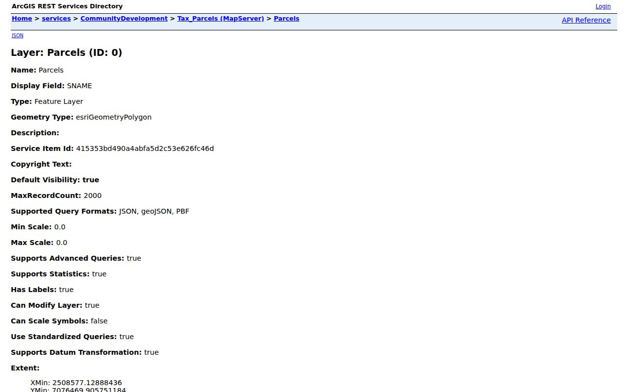
The Allen map view supports a polygon-by-polygon check. It should be captioned as adjacent-parcel review, not a claim that everyone inside the displayed area is a neighbor.
Note: An Allen parcel boundary is a land reference and may contain several households or no dwelling at all.
Allen Parcel Ownership Is Not Occupancy
After selecting an Allen adjacent parcel, use CCAD to compare the account owner, mailing address, property ID, geographic ID, and legal description. Then search the County Clerk index with the legal description, party name, document type, or document number. The appraisal account is a current tax-admin record. The deed index is a recorded-transaction trail. A matching result can support a recorded ownership association, but it still cannot establish who sleeps at an Allen address today.
| Official Allen or county source | Commercially compiled data category | Practical difference |
|---|---|---|
| Parcel map, CCAD account, and deed index | Commercially compiled neighbor data | Official records identify custodian, record type, and date; compiled data can merge, lag, or infer relationships. |
| Neighborhood boundary inventory | Commercial address associations | The City layer maps an area and public contact fields; it does not identify members or occupants. |
| County election process | Broad people-list claims | Voter information follows statutory limits and protected-address rules; it is not a public block display. |
Use official Allen and Collin County sources to correct a mismatch at the custodian. Do not fill a blank result with a commercial guess or treat a mailing address as a home address.
Allen Neighborhood Layer Fields
The City of Allen Residential Neighborhoods service adds a community-context layer to parcel work. Its fields may include display name, category, development year, unit count, association contact, contact role, email, phone, address, partner status, and school URL. An Allen result can identify the mapped neighborhood around a parcel and a public route to an association. It cannot reveal the people who belong to that association or establish that an owner or occupant is affiliated with it.
Review the public Allen Residential Neighborhoods FeatureServer for boundary and context fields.
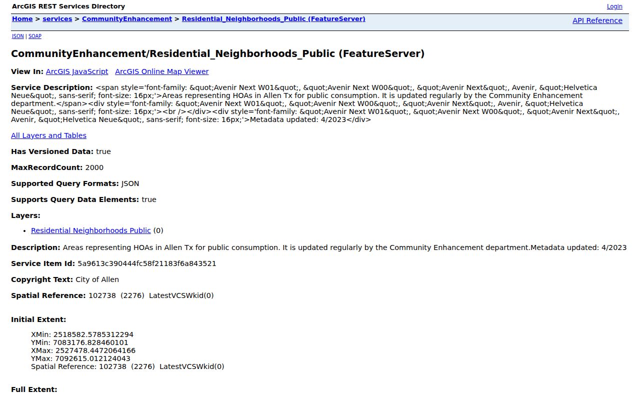
The Allen inventory is useful for naming a surrounding area and finding a public contact field. Its boundary and contact values are not a member list.
Allen Neighborhood Areas Give Context
Allen’s mapped areas can help normalize a subdivision name in a parcel record or plat. They should not be used to build a household roster. The public Allen layer showed representative area names and development details, while selected records included active-partner contact fields. Those fields are a way to navigate to a public association route, not evidence that a household participates or that any organization endorses this directory.
| Mapped Allen area | Layer detail useful for context |
|---|---|
| North Bethany Lake Estates | Development year 2000 and active-partner contact fields. |
| Suncreek | Area boundary and development year 1998. |
| Glendover Park | Development year 1999 and active-partner contact fields. |
| Stacy Ridge Estates | Development year 2000 and active status. |
| Steeplechase | Development year 2014 and active status. |
| Lost Creek Ranch | Development year 2002 and active status. |
| Watters Crossing | Development year 1994, active status, and a public contact field. |
| Waterford Trails, Spring Meadow, Creekside at Ridgeview, Twin Creeks | Boundary, name, category, and development fields where populated. |
The older Allen Residential Neighborhoods MapServer describes Allen boundaries updated by Community Enhancement, with metadata updated in April 2023.
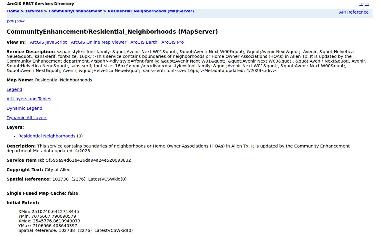
The boundary view can be paired with an Allen parcel and a recorded plat to understand a subdivision. It does not disclose members, current households, or association affiliation.
Allen Roads and ZIPs Need Separate Checks
Use the Allen public roads layer to resolve a centerline and address range, then use the parcel layer for the actual situs. The county ZIP map identifies 75002 and 75013 as Allen postal ZIPs, but postal geography does not settle city limits or a neighborhood boundary. A parcel next to an Allen target can have another mailing city, an out-of-city owner mailing address, or a different ZIP context. Preserve the legal description, situs, mailing address, and postal city and ZIP as separate values.
The Allen Roads FeatureServer helps normalize a road segment. It does not turn a nearby address range into proof that parcels share the same residential block.
Allen Neighbor Voter Records Are Restricted
Collin County’s public voter lookup requires first name, last name, and date of birth. It does not provide an Allen street or ZIP lookup. The county also offers a requested or purchased voter-registration file, but it is countywide rather than Allen-only and carries legal limits. The county prohibits use of voter files to advertise or promote commercial products or services. Phone numbers and email are excluded, and protected Allen voters can have address information withheld.
Texas SOS guidance also restricts publication of telephone numbers, Social Security numbers, driver-license or personal-ID numbers, dates of birth, and protected addresses. A voter record can help with lawful individual registration verification. It is not a source for a block-by-block Allen household directory.
Allen Historical Block Clues Need Dates
Historical Allen households near one another may be inferred from address-first directories, deed chains, plats, newspapers, and later census schedules. The inference comes from geography and time, not from a field literally labeled “neighbor.” Preserve the volume, issue, page, date, and stated coverage. A telephone directory can supply an address snapshot, while an Allen newspaper can offer a dated mention. Neither source shows present occupancy, and catalog coverage may be regional rather than Allen-only.
The City neighborhood layer can name a subdivision, but the County Clerk plat and legal description are better tools for checking lots and blocks. When an old Allen label differs from the current one, record both forms rather than silently changing the historic address.
Note: A historic Allen name-and-address hit is strongest when an image or primary record confirms the date and geographic scope.
Allen Neighbor Lookup Privacy Limits
Allen neighbor research should remain narrow and respectful. Adjacent parcel ownership is not occupancy, and public records do not supply a complete list of renters, guests, household members, utility customers, or protected residents. Texas Address Confidentiality Program participants may use substitute addresses. Texas Government Code sections 552.117 and 552.1175 also protect certain home-address and phone information. Never try to replace a protected or blank record with private data from another source.
Lawful use. Allen neighbor records can support personal, lawful research, local history, and a better understanding of a block. Do not use parcel, map, voter, or association information to stalk, harass, intimidate, or harm anyone.
For an existing government record, a written request under the Texas Public Information Act should name the custodian, record type, date span, and subject with reasonable specificity. Requests can still be narrowed, redacted, or withheld under an applicable exception.