
Allen Sources for Previous Residents
Previous residents of an Allen property leave different kinds of evidence. The deed record is the legal ownership trail. Appraisal and GIS data help identify the present parcel. A dated telephone directory, census schedule, or newspaper item can add a household clue, but no one source supplies a complete succession of people who lived at an Allen address. Start with the era of the question, then use the strongest available source for that period.
| Source | Years It Covers | Where Held | What It Shows |
|---|---|---|---|
| County Clerk land index and Historical Records | Historical route 1843-1975; current index separately available | Collin County Clerk | Grantor, grantee, instrument, date, legal description, plats, liens |
| CCAD appraisal search | Current dataset; earliest web year not stated | Collin Central Appraisal District | Owner, mailing and situs fields, property and geographic IDs |
| Allen Tax Parcels GIS | Current metadata updated 05/2025 | City of Allen GIS | Parcel geometry, legal description, addresses, owner reference fields |
| City permit and public-record search | Oldest public coverage not stated | Allen Citizen Self-Service | Address-linked activity and named applicants or contacts where exposed |
| Allen American archive | Primarily 1970s-2010s | UNT / Allen Public Library | Dated notices, development, family, obituary, and address clues |
| Telephone and city directories | Variable by title; no complete Allen-only run confirmed | Library, UNT, TSLAC, and UT Briscoe | Time-bound name, address, phone, or occupation entries |
An Allen owner name, mailing address, or permit applicant is not automatically an Allen occupant. The table separates legal title, parcel reference data, and dated household clues so that the trail does not overstate what a record proves.
For an Allen time line, preserve the Allen address, Allen parcel ID, Allen legal description, Allen plat, Allen newspaper mention, Allen directory line, Allen census geography, and Allen permit date as separate fields.
Allen Parcel Records Before Names
Use the Collin Central Appraisal District property search, or its alternate eSearch, to locate the Allen address and note the property ID, geographic ID, situs address, owner name, owner mailing address, legal description, and tax year. CCAD keeps owner names Last First and supports an asterisk wildcard. Its field set can also search address pieces, subdivision, block, and tract or lot. The oldest online appraisal year was not stated in the inspected materials.
Then query the Allen Tax Parcels MapServer. Its fields include FullAddress, OwnerAddress, Parcel_ID, PROP_ID, GEO_ID, ParcelOwner, LegalDescription, and land-use information. The Allen layer can bridge the mapped situs to a parcel identifier, but it is not a legal survey and should not replace a recorded instrument. Allen GIS metadata was last updated in May 2025.
A legal description, such as a subdivision, block, and lot, is usually the more durable link. It lets an Allen researcher compare deeds that use older naming conventions with a modern parcel even when street formatting changes.
Follow the Allen Recorded Deed Chain
The Collin County Clerk land index is the legal backbone for prior ownership of an Allen parcel. Begin with the current owner as a grantee, meaning the party who received a deed. The related seller is the grantor. Locate the purchase instrument, then search that former owner as a grantee to find the deed by which they obtained the same property. Test every step against the legal description, subdivision, block, lot, acreage, survey, or adjacent-owner references. A matching surname alone is not enough.
- Record the Allen parcel’s current property ID, geographic ID, owner, and legal description from CCAD.
- Search the current owner in the county index, review recorded dates and document types, and locate the purchase deed.
- Copy the instrument number, seller, recording date, and legal description before moving to the prior link.
- Search the former seller as a grantee, then confirm the same Allen parcel through the legal description or plat.
- Repeat backward, using the Historical Records route when the time period falls within 1843 through 1975.
- Request a clerk copy or ask about older books when the online result is incomplete, watermarked, or cannot be tied to the parcel.
- Grantor / grantee
- The grantor transfers an interest in a deed; the grantee receives that interest.
- Chain of title
- The connected sequence of recorded ownership transfers for the same parcel.
- Legal description
- The lot, block, subdivision, survey, or other land description used to identify property beyond a street address.
Deeds show title transfers, not every person who lived at an Allen property. Use the deed chain to establish the parcel and time window, then add a separate household source.
Allen Deed Record Portal Boundaries
The county’s online land database warns that it is not the official repository and that some material may be redacted. An image may carry an unofficial watermark. For a consequential Allen title question, use a certified or clerk-provided copy instead of treating a portal image as the final authority. Historical Records is a separate route for 1843 through 1975, while the exact coverage of all current data was not separately stated.
The current fee schedule lists $10 for a name, legal-description, or document-type search. Ordinary copies are $1 per page. Certified copies add $5 for certification plus the page charge. The county’s property-record copy request form accepts up to six document numbers and asks for copy choices and delivery information. Unwatermarked online images require registration, cart, and payment steps.
Note: Keep the Allen document number, recording date, legal description, image status, and copy type together when a deed is used as evidence.
Allen Previous Residents in Directories
After the Allen parcel is stable, move to the household layer. Historical telephone and city directories can show a name, address, phone, spouse clue, occupation, or owner and renter notation when the particular volume supplies it. Their scope varies. No confirmed Allen-specific reverse or criss-cross run was located, and no exhaustive Allen-only directory series was found. Use a regional title as a dated lead, not a complete list of Allen past residents.
Pair each available directory year with a federal census year where access permits. A census can supply household relationships, ages, and historical geography; a directory may offer an address nearer to the intervening year. The date difference matters. A move between a directory’s publication and a census enumeration is normal. The Allen City Directory collections provide the repository detail without turning a sparse title into proof of occupancy.
- Preserve the Allen address and name exactly as printed in the directory or telephone book.
- Search the nearest earlier and later available title, comparing spouses, initials, street names, and neighboring entries.
- Match an available 1900 through 2020 census release by date and geography, not by name alone.
- Use a deed or plat to bridge the directory address back to the same Allen legal description.
- Label the conclusion as a historical directory or census association, never as a current residence claim.
The Texas State Library city-directory guide explains the variable fields and coverage of directory research.
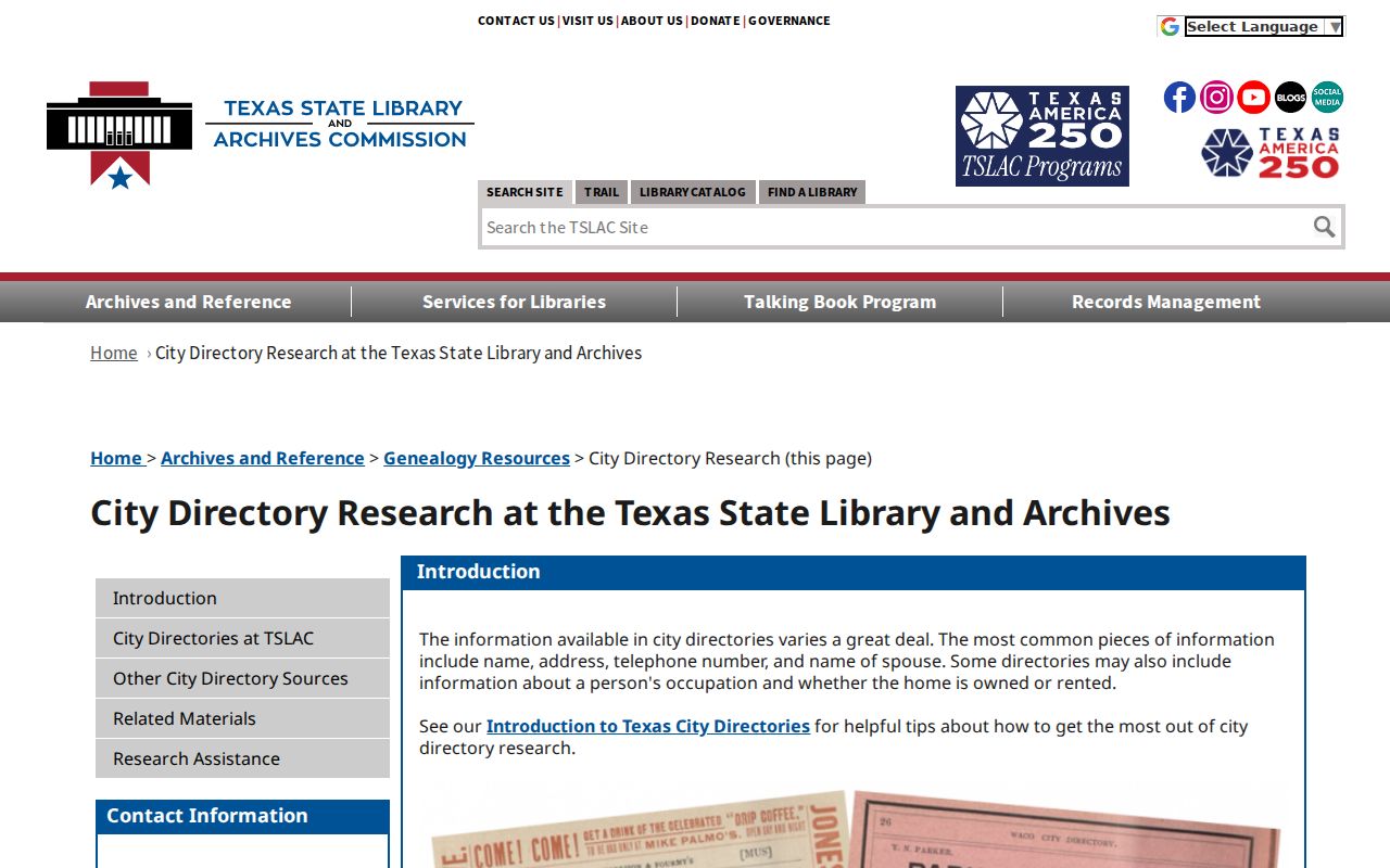
For Allen house history, the guide is a reminder to inspect the actual title and volume before drawing a conclusion from a directory entry.
Allen Dated Address Records
The Allen Public Library partner collection at UNT contains 2,316 items in three collections, including 2,315 Allen American items. Its inspected coverage is primarily the 1970s through the 2010s. Search a surname with terms such as water meter, new family, permit, depot, Main Street, McDermott, or Bethany, then open the Allen page image and capture the issue date and page. OCR can find a lead, but the image supplies the context.
Allen’s Citizen Self-Service route at the city’s Tyler-hosted portal supports keyword and address searching. Its oldest public coverage was not stated. Permit and public-record events can date construction, additions, or an application, but a named applicant, contractor, owner, or agent is not necessarily an Allen resident.
Allen Public Library’s catalog is the local entry point for titles and onsite history leads.
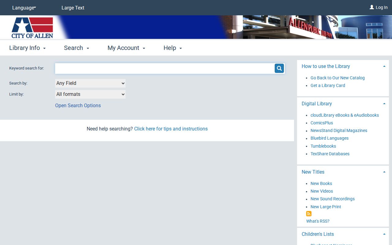
Combine a dated Allen newspaper or catalog lead with the deed’s legal description before connecting it to a particular property.
Allen Address Record Mismatches
An old Allen address can fail a modern search without being wrong. Street names, suffixes, postal-city labels, rural-route conventions, subdivisions, replats, apartment numbers, and road work can all change the way an address appears. City GIS distinguishes a situs or mapped address from an owner mailing address, and the county ZIP map lists both 75002 and 75013 for Allen. Neither field settles who lived there at a given date.
No specific Allen street-renumbering project or year was found in the research, and no Allen Sanborn sheet was confirmed. Do not invent either bridge. Instead, compare the Allen lot, block, subdivision, parcel ID, geographic ID, plat, nearby cross streets, old postal label, and recorded legal description. The Library of Congress Sanborn guide can be searched by place name, but availability for Allen must be verified.
Allen’s historic trail also predates many city systems. The town’s railroad history begins with the Houston & Texas Central Railway in 1872, and earlier land or county material can be indexed under McKinney, Allen, a rural route, or a regional title. Preserve original wording first, then record the modern Allen interpretation separately.
Allen Offline Records Endpoints
When the online Allen trail stops, the Collin County History Museum is the strongest local offline lead. Its research library holds photographs, maps, manuscripts, diaries, archival newspapers, and land-record material. The museum is at 300 E. Virginia Street, McKinney, TX 75069, phone 972-542-9457. Its mission page lists Friday and Saturday, 11 a.m. to 5 p.m.; confirm before a visit because an older listing differs.
Ask for a house file, street name, approximate era, historic photograph, map, deed abstract, newspaper file, or neighborhood material. Collin County’s Genealogy Corner can extend a family trail with indexed and scanned marriage licenses from 1884 through 1949. Probate and obituary material can identify heirs, an executor, relatives, or a last-known association, but may be sensitive, incomplete, or limited by the holder’s access rules.
Lawful use. Allen previous-resident research is for personal house history, family history, estate research, and civic curiosity. Do not use historical records to harass, track, or harm a living person.
A missing Allen result is not proof that a person never lived there. It may reflect protected addresses, a missing directory year, an unindexed book, a catalog-only item, or a portal limitation. Request existing documents from the right custodian under the Texas Public Information Act, Texas Government Code chapter 552, with a precise address, date range, and record type.